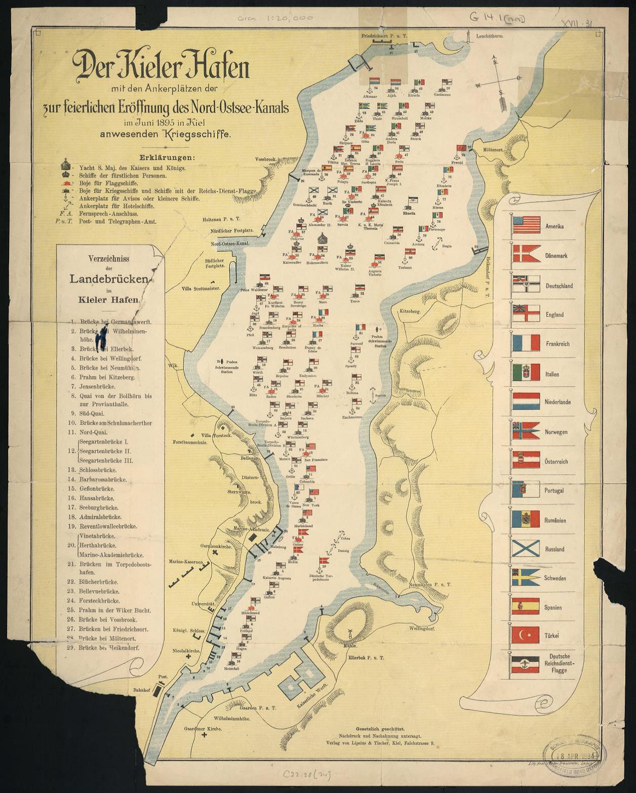
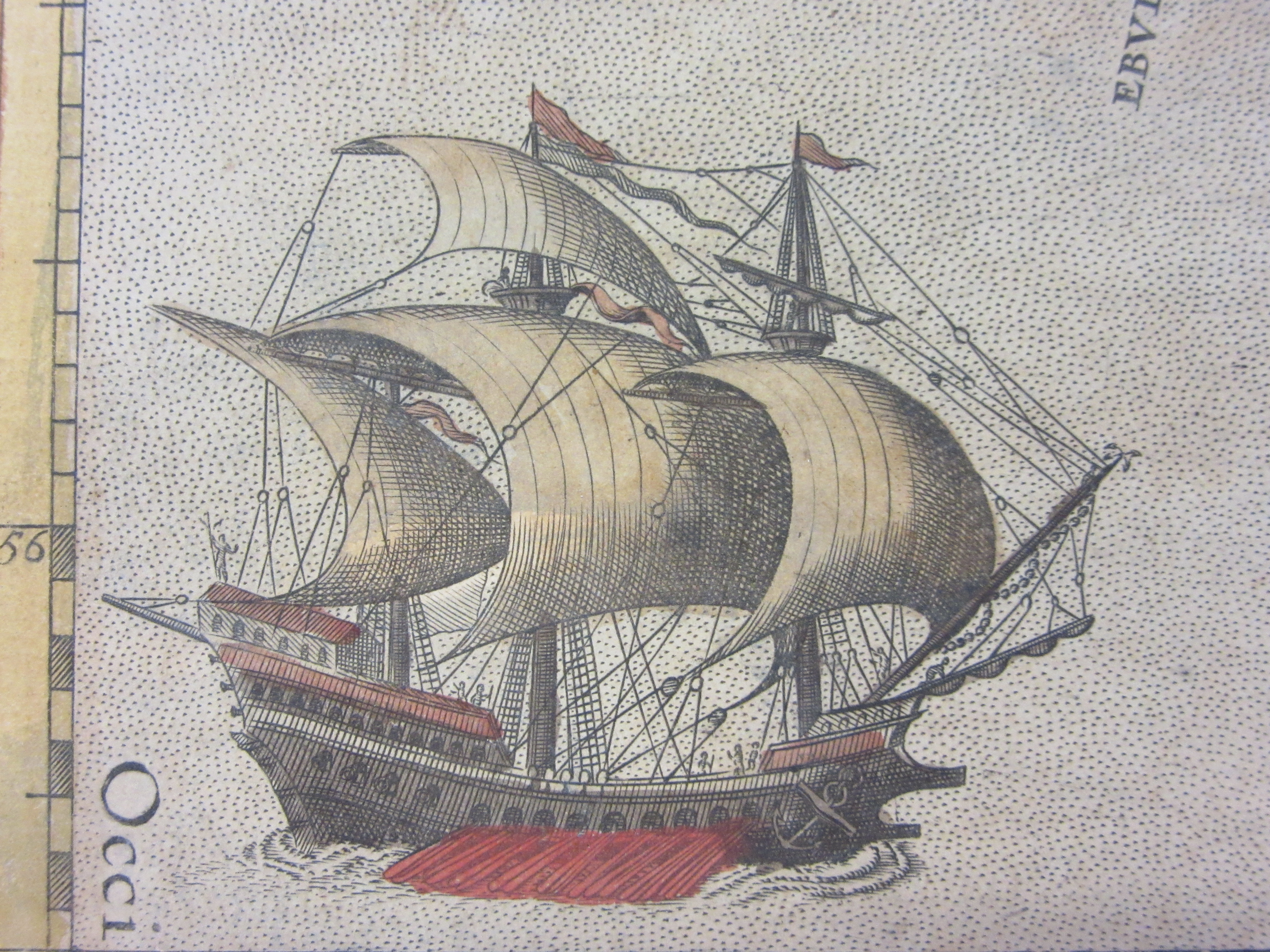
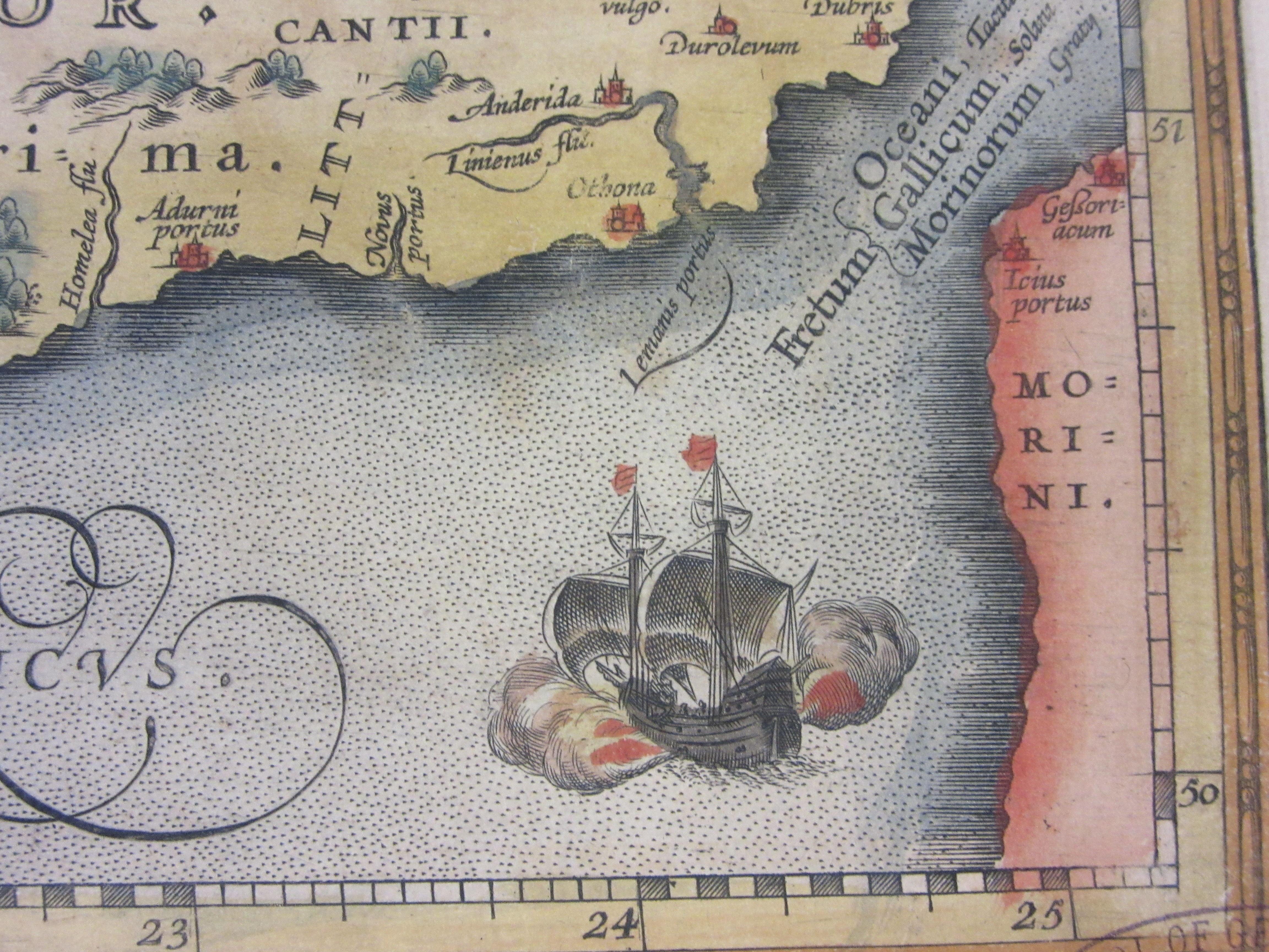
Many maps from the late sixteenth century feature ships and sea monsters in and on the oceans. With a large amount of surface taken up by water cartographers used these images as an embellishment to make the map more attractive, but there are other reasons for such decoration; at the time many people believed in the existence of such creatures so to feature

monsters from the deep would be as natural as portarying an Elephant in Africa, while the opening up of trade with foreign lands and voyages of discovery made sea travel an important part of late Medieval and Tudor times.
This recent addition to the Bodleian collection, Britannicarum Insularum… by Abraham Ortelius,

has in its top left corner one of the more dramatic images of shipping to be found amongst the maps held. In a cloud of smoke and explosion a sea battle takes place as a smaller ship advances, firing from the bow and flying what appears to be a flag of Denmark.

Abraham Ortelius was a Flemish cartographer who started publishing maps and atlases in 1564, this map comes from an atlas of ancient and classical history called the Parergon, and shows the British Isles with British tribes and Roman features, including both Hadrian’s and the Antonine

Walls and was published in 1590. This would date the map to the time of the Spanish Armada, which set sail in 1588. As the Spanish fleet rounded the North coast of Scotland and started to sail down past Ireland fierce storms sunk many of the ships, though there was no battle of the type depicted on Ortelius’s map.
Britannicarum Insularen Vetus Descriptio…, 1590. Ortelius, A. (E) C15 (971)
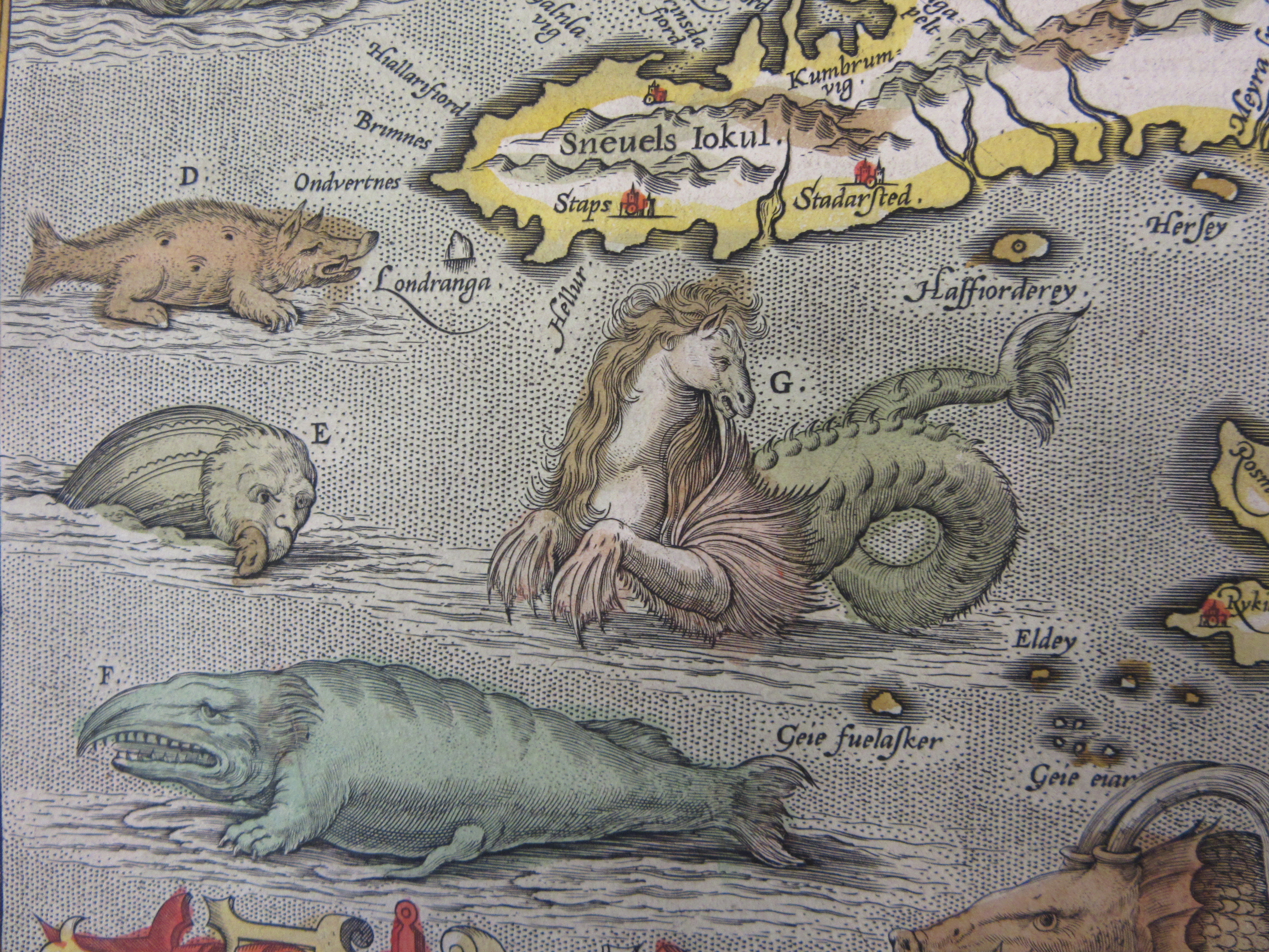
This image of a sea-horse off the coast of Iceland comes from a lavishily illustrated copy of Abraham Oretlius’s Theatrum Orbis Terrarum, published in London in 1606. The sea-horse is described as ‘often dothe fisherman great hurt and skare’. The picture of the Mermaid holding the flag of the Isle of Man at the start of this piece also comes from Ortelius.
Douce O. Subt. 15