
Rising in the Black Forest region of Germany the Danube flows a curving 1770 miles through Central and Eastern Europe before reaching the Black Sea. As well as an important shipping route the river forms part of the national borders of seven European countries.
The first Commission to aid navigation and control safe and clear passage of the river was created during the Congress of Paris in 1856, following the end of the Crimea War. This was replaced by an International Commission during the Treaty of Versailles in 1919 which lasted until the outbreak of World War Two. Following German defeat in 1945 a new Commission was created, and it is this Commission that has produced a series of books of maps covering the course of the river as an aid to navigation.
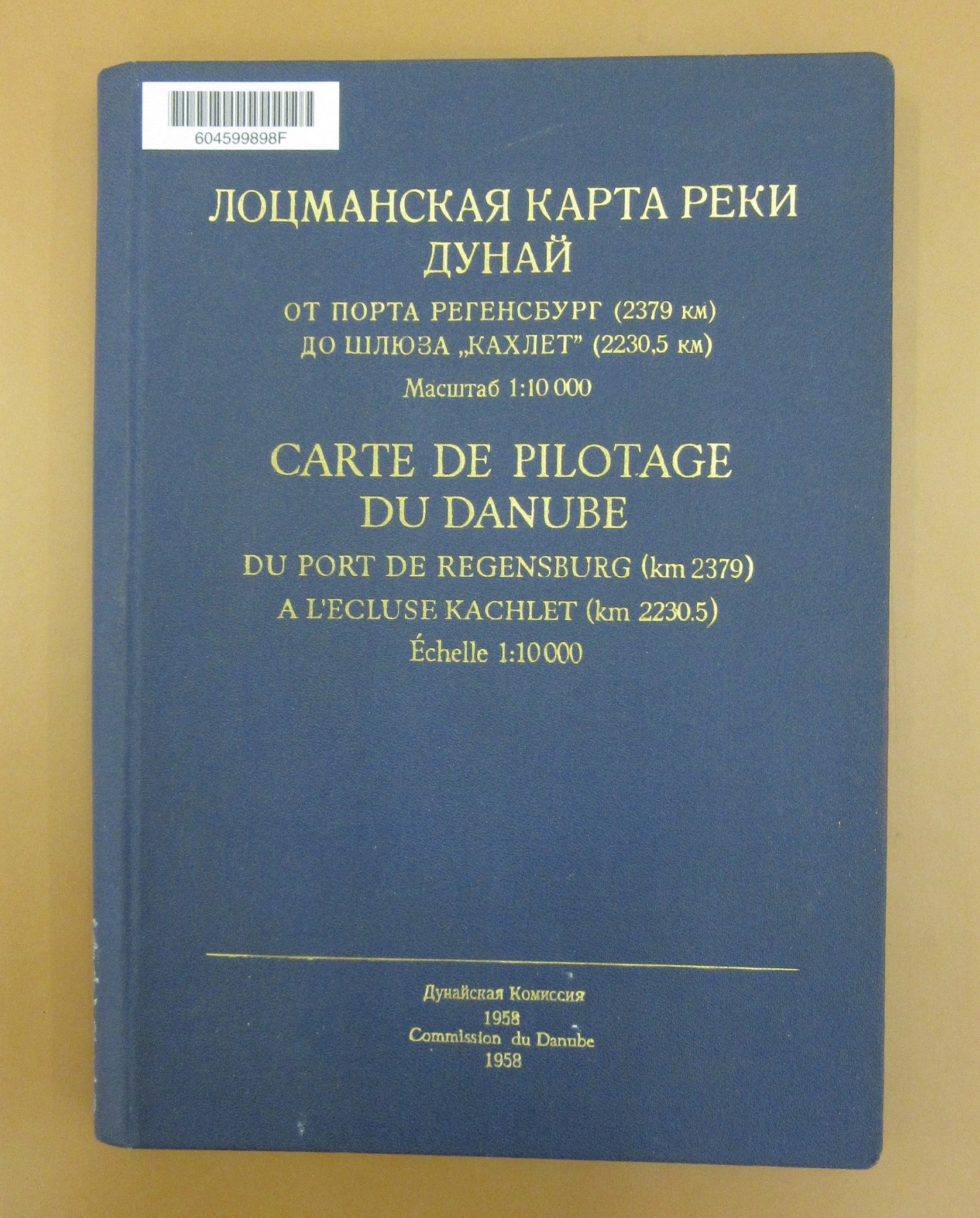
With a mixture of Russian and French text and German mapping the book shown here covers the river from Regensburg – the furthest upstream navigable by large craft – to Kachlet, in the Bavaria region of Germany. The cover gives no hint to the wonders within. A long and continuous strip map follows the river at a scale of 1:10,000 and provides information on, amongst others; bridges, ferry crossings and power cables. The red numbers in boxes show the kilometres remaining to the sea.
 This photograph gives some indication of the length of the map folded within the book (the amount show here is approximately 2/3rds of the map) and gives an idea of the intricacy of the way in which the map has been created to show the curves and flow of the river. Special folds

and additional sections have been added to create a practical as well as an impressive work.


Carte de Pilotage de Danube, du Port de Regensburg (km 2379) A l’Ecluse Kachlet (km 2230.5), (1958). Published by the Commission du Danube. C22:11 c.8


