
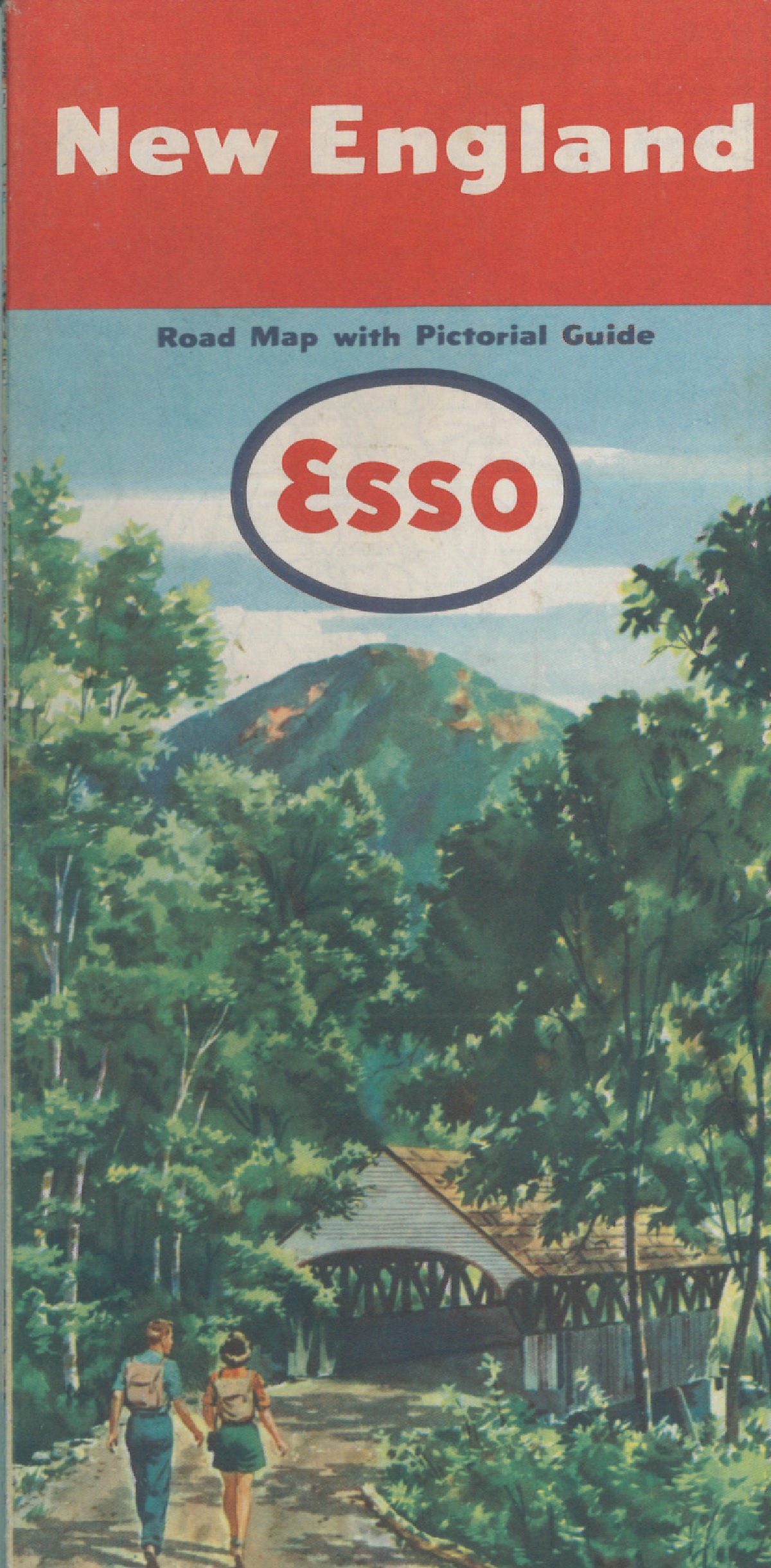
A mixture of post-war affluence and cheap oil meant that by the mid-1950s the majority of American families owned their own car. Oil companies such as Esso, Shell and Associated Oil produced free highway maps with covers that portrayed an idyllic way of life made possible by the motor car, selling the dream of the open road to those mobile enough to seek it out. These images come from maps produced between 1950 and 1965.

Pingback: дорожное путешествие!* | Bodleian Map Room Blog