
This new addition to the collection is a large-scale general tourist map of central London. Almost as an aside the map shades the areas in the city damaged or destroyed by the blitz.

Bacon’s large scale plan of the City of London, 1947. C17:70 London e.217
This close-up of the area of the City shows how much damage was caused by raids between 1939 and 1945 which hadn’t been re-built by the time of the publication of the map in 1947. The damaged areas are shaded light green.
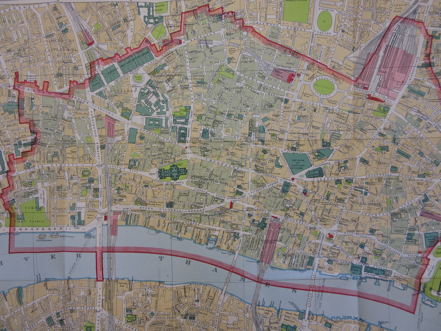
By the end of the war nearly 3000 buildings in the City had been destroyed, with 340 killed. In the London region the amount killed was close to 30,000. There is an informative book on the open shelves in the reading room, Bomb Damage Maps 1939-1945, by Laurence Ward and published by Thames & Hudson, which reproduces the maps created by the London City Council to show the areas of damage. Using County Series Ordnance Survey maps from 1916 the maps have been shaded in showing the levels of damage caused.

Bomb Damage Maps 1939-1945. Ward, L. Thames & Hudson. G24 C17.85