
The things you find behind the most unimpressive of covers.

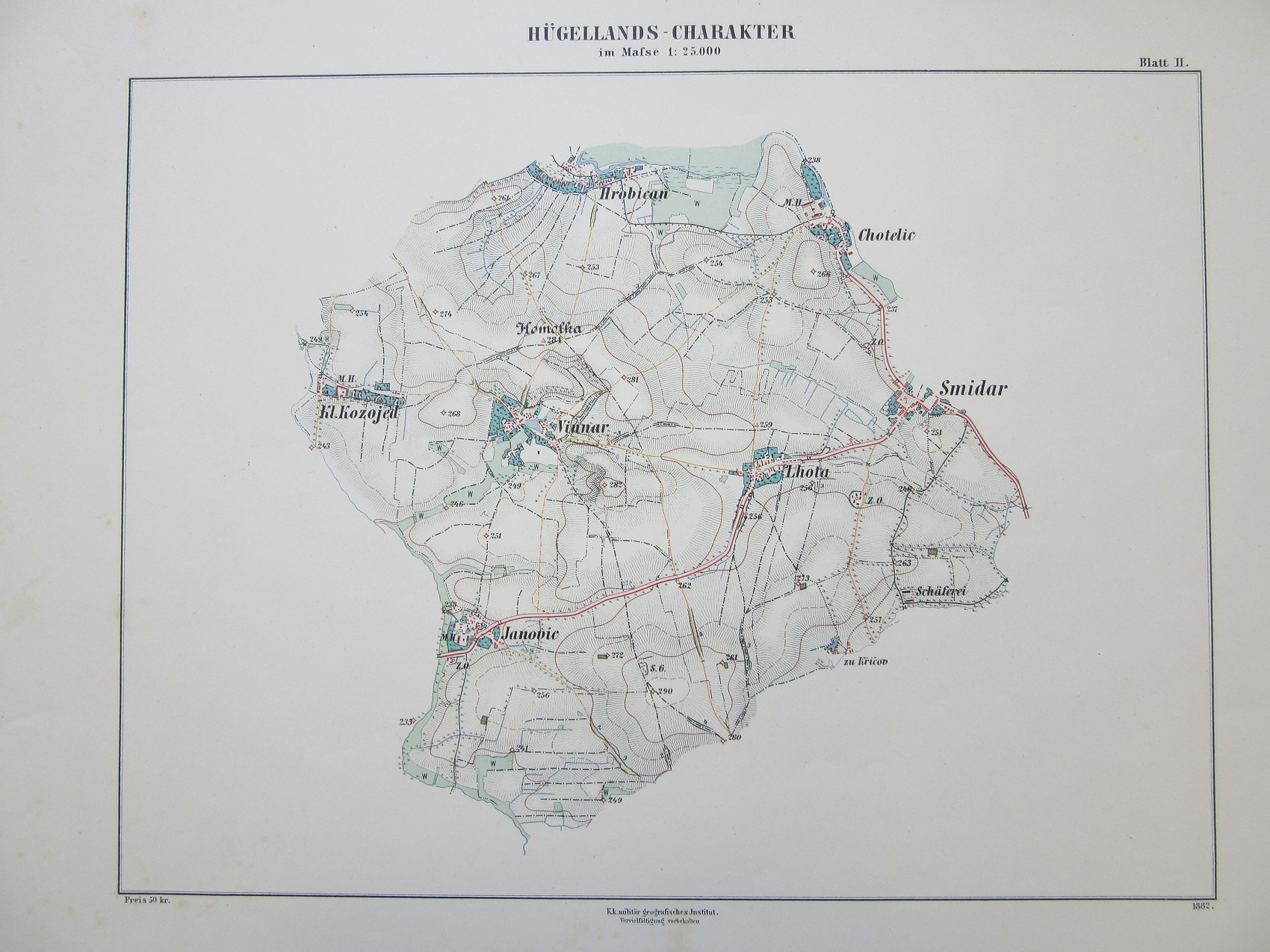
The Schlüssel und vorlageblatter für den situations zeichnungs unterricht (which translates roughly as ‘Key and template for drawing lessons’) is a teaching aid created by the Institute of Military Geography in the Austro-Hungarian Ministry of War in 1882 for the drawing of maps. Inside there are a number of different terrain examples and sheets showing scales, text, topographical features and legends.
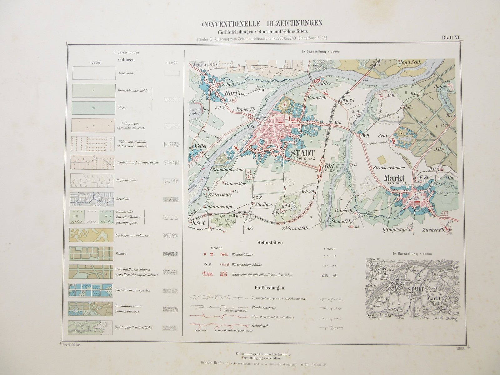


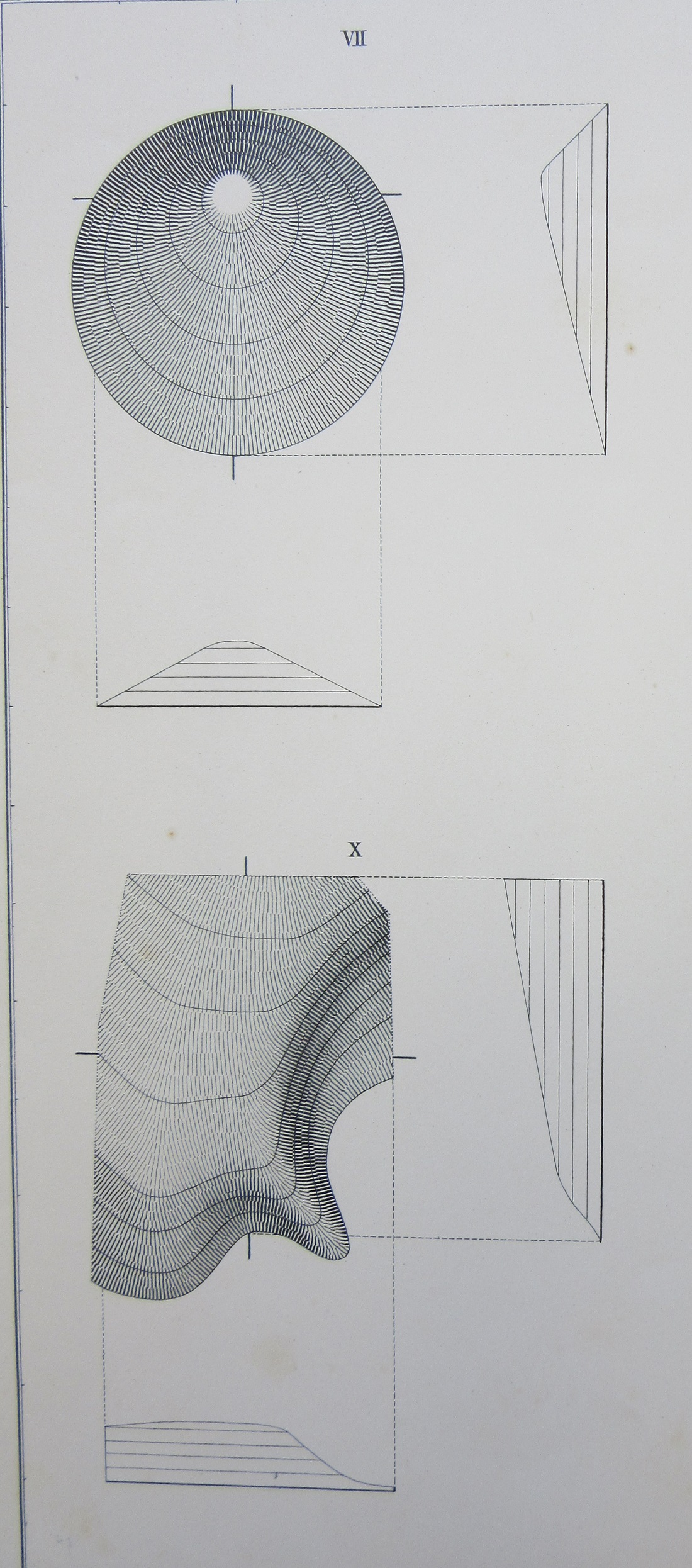
The book also has technical aids for depicting hachures, and has a number of pages dedicated to the problem of representing height on a flat sheet. The idea is that military cartographers working for the Institute would use these maps and legends as a template to create maps without variation in design, creating uniform mapping easily understood by troops in the field.
The range of terrain available, from high mountain to river flood-plain, is an indication of the size and breadth of the Austro-Hungarian Empire in 1882. This map, from an atlas published in 1909, shows the Empire just before the outbreak of the First World War

Schlüssel und vorlageblatter für den situations zeichnungs unterricht, 1882. K.K Militar-Geografischen Institute. C1:5 b.3