
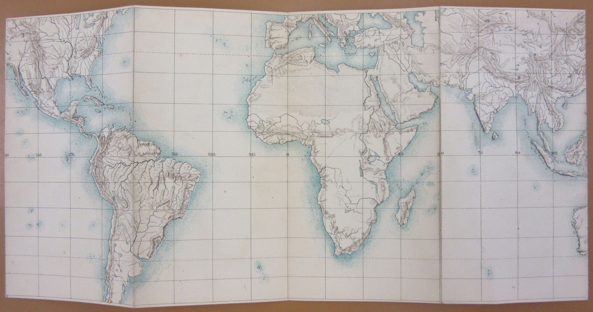
These small maps, dating from 1864, are designed to fit in the pocket of a waistcoat or jacket. Usually maps of this type are travelling maps and often have timetables included, there are also examples for fox-hunting meets, so to have a World map done in this way is rare.

Showing the equatorial regions with the polar regions at the right the idea is that in folding over the right-hand section of each side you create a wide span of the world. It’s hard to see the use though after the novelty effect of the map has worn off as the scale is such that only the barest information such as relief and major rivers is shown.
The second map, of the constellations, works on the same principle.


As can be seen by the above image of the envelope (still going strong after 154 years) it is quite a flimsy package, and you wonder how long it would last with regular use. Compare it with a more typical example of the genre, with this fox-hunting pocket map with a hard cover,

much more suited for purpose ( Places of meetings of Lord Gifford’s hunt, 1843, C17:7 g.1).
Mr. Carringtons Pocket Maps, 1864. B1 (401)
Pingback: Mr. Carrington’s pocket maps – GeoNe.ws