Globes in various forms are an everyday sight but intriguing none the less. Like maps there are increasingly being looked at in an aesthetic light, but were designed with a clear educational function. An early example the ’Erdapfel’ or ‘Behaim globe’ constructed between 1490 and 1492
 was thought to have come to the attention of Christopher Columbus before his famous voyage. He would have consulted flat paper maps but it is only on a globe can you appreciate the directness of the Great Circle route. They also “contrived to solve the various phœnomena of the earth and heavens, in a more easy and natural manner” so said George Adams in his Treatise describing the construction and explaining the use of new celestial and terrestrial globes. (1777)
Globes were traditionally made using gores – 12 or 16 shaped paper or vellum strips pasted to a sphere with ‘calottes’ or caps to cover the inevitable untidiness at the joins at the north and south pole and subsequently mounted at 23½° off the vertical to replicate earth’s tilt in space. To maintain this angle lead shot was used to balance. Some globes were manufactured to be portable whereby they can be disassembled in 48 pieces.
Modern self-supporting globes use sections that bear very little resemblance to the elegant gore. The traditional skill of globe making has been revived recently by Greaves & Thomas a small company specialising in the production of all manner of globes “spanning cartographic history from 1492 to the present day”.
The Bodleian has never restricted itself to collecting justbooks and manuscripts. Indeed it was Sir Thomas Bodley who purchased a pair of extravagantly expensive terrestrial and celestial Molyneux globes (1592) and subsequently bemoaned the fact they were getting ‘slurred’ (smudged) and so their upkeep would become a continuous charge. This proved to be the case as the Bodleian accounts show payments made to the joiner in 1629, 1636 and in 1644 for mending one or other of the globes. This pair was discarded in favour of a pair of Blaeu globes which can be seen on a contemporary print by David Loggan of Duke Humfrey’s Library in 1675. It appears these were also rejected in favour of a more modern (and smaller) pair of John Senex globes dating from 1728. It is this pair which reside in the Rare Books and Manuscript Reading Room of the Weston Library.  .
.
Today globes are more likely to be found as blow ups, pop ups or large installations.
Examples of this more public structure can be found in Boston, Massachusetts as the Mapparium in the Mary Baker Eddy Library and De Lorme’s Eartha globe in Yarmouth, Maine but equally the inflatable globe functions well as a ball on a beach. ‘Three dimensional atlases’ are now being published as pop ups of hemispheres, illustrating text wonderfully for younger readers. Miniature globes were regarded as children’s toys with some educational value but the most peculiar is the ostrich egg. Sadly the Bodleian does not possess one of these wonderful objects but given its delicate structure it is only a decorative piece.
Mapparium photo credit: https://flic.kr/p/2dhfXcJ
Egg photo credit: https://commons.wikimedia.org/wiki/File:Bellerby_%26_Co_Egg_Globe_Commission.jpg


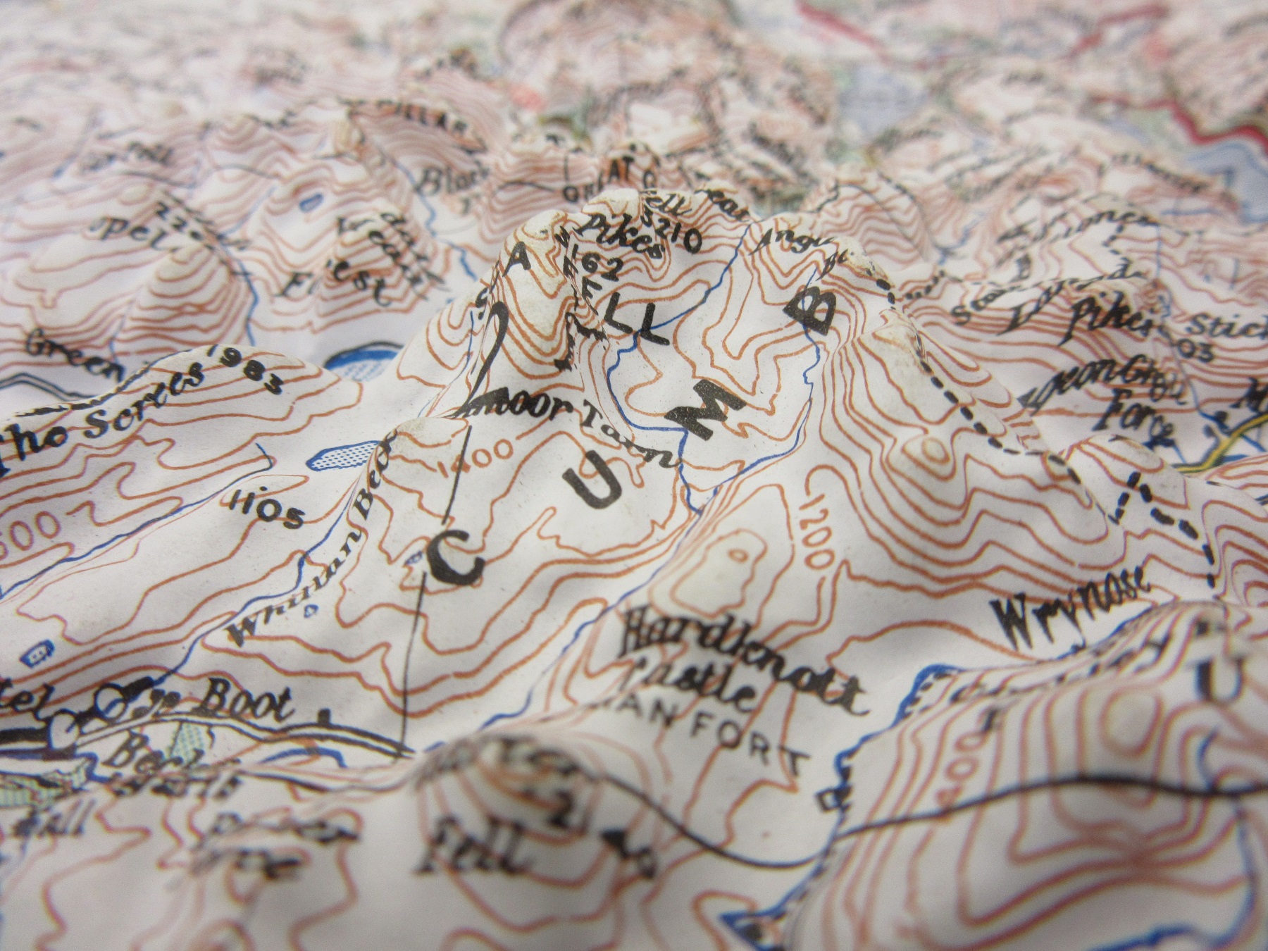
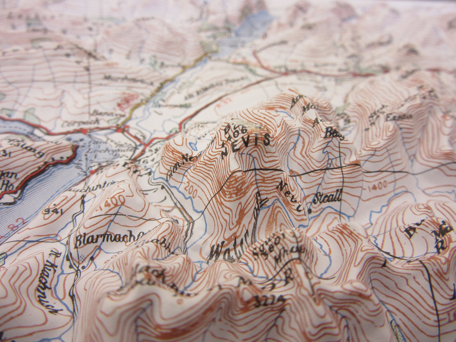
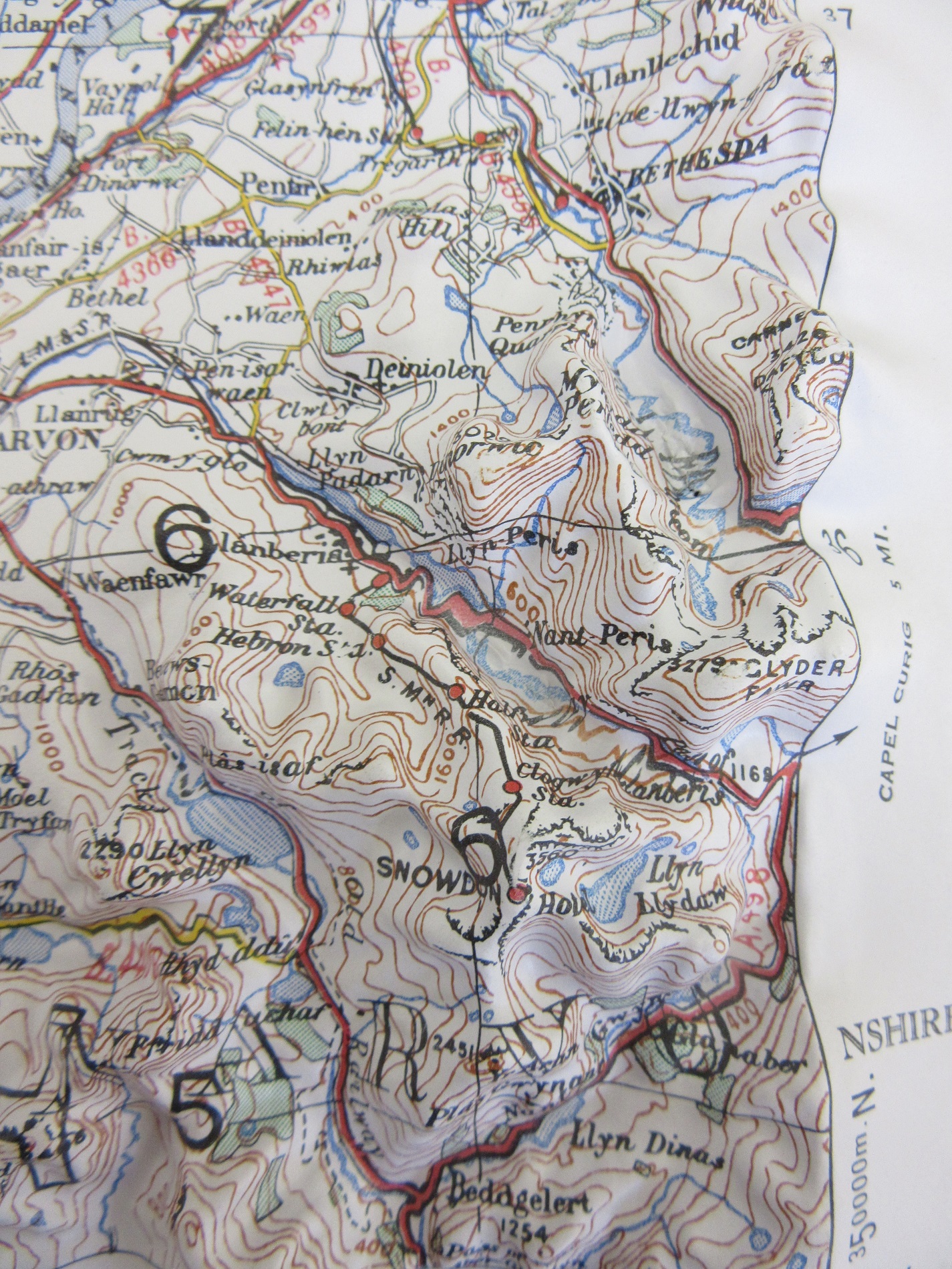
 Produced by the Army Map Service of the United States in1956 the plastic sheets have been pressed onto a raised model thus creating a relief image. On the back of the sheet you get the image in reverse. Due to the cut-off for heights shown in relief there are a number of sheets covering the Central and Southern parts of England that have no raised relief at all. Here is the reverse of the Isle of Arran. Relief maps such as these are a joy to look at but troublesome to store, as they can’t take too much weight on them for obvious reasons. Given a normal shelf mark for maps of the British Isles this interesting series will be stored in a box to protect the sheets from being damaged. All together there are 38 sheets at a scale of 1:250,000.


