
 Over the past 4 months, the Map Room staff have, like so many others, been working from home. Away from our physical map collection, what have we been doing?
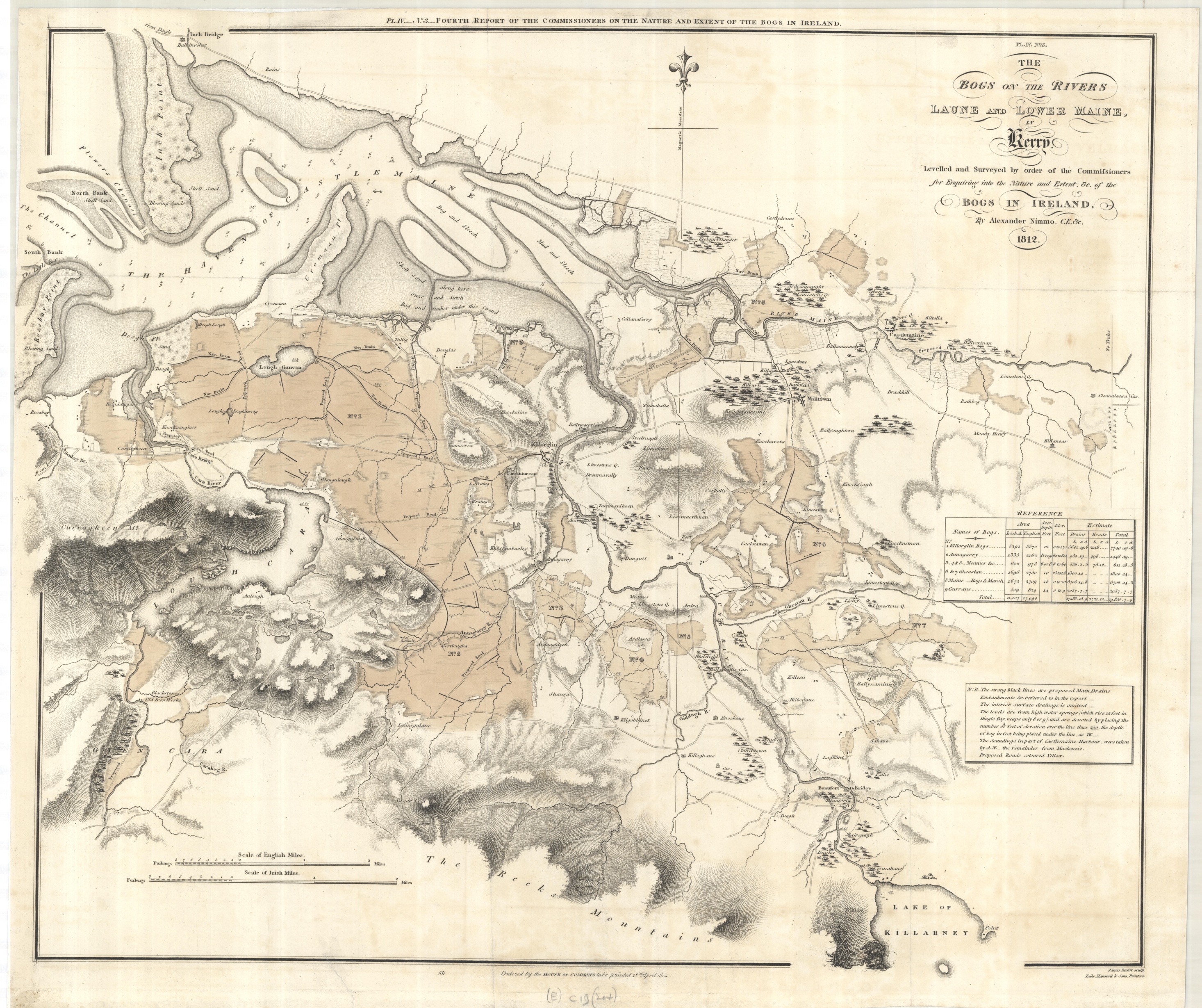
Cataloguing staff are working on a project to to index a large collection of digital scans. Thousands of our maps have been scanned to provide images for research purposes, but we don’t yet have a complete list to show which scan number corresponds to which map. The scans include a huge variety of different maps. There are loose sheets from the Gough Maps collection covering the British Isles, trench maps from WWI, maps from the Commonwealth and African Collections, early atlases from the Allen collection, and around 3000 maps with an (E) shelfmark – sheet maps dating from before 1850, for places all over the world. The latter include beautiful early printed maps (such as the view of Toledo in Spain by Braun and Hogenberg above) and maps made for practical purposes (the second image is from the report for the Bog Commission in Ireland, published in 1814).
There are a small number of manuscript maps as well, such as this sketch of the Kusasi region in northern Ghana, from the Commonwealth and African Collections. It was made in 1927 and shows the area divided into tribal regions; a published map based on this one was produced in Accra the following year. Its condition suggests that it was very much a working document.

A big positive for those involved has been the opportunity to look at images of these interesting, varied and often beautiful maps from our collections. It’s the virtual equivalent of spending days rummaging through the drawers (which we wouldn’t usually have time to do!) This should be the first step towards adding many of these images to the Digital Bodleian collection.
The bogs on the rivers Laune and Lower Maine in Kerry / by. A. Nimmo. J. Basire sculp. From the 4th report of the Commission on the Bogs in Ireland. London: House of Commons, 1814. (E) C19 (204)
Toletum. Cologne : Georg Braun, 1593. (E) C38 (167)
Sketch map of the Kusasi District, Gold Coast. Signed by C. St B. Shields, 12.12.27. 722.11 t.1 (25).