
 We all have maps like this. Dog-eared, well used, creased, pushed into pockets or bashed about in a rucksack. For whatever reason they show signs of wear and tear, which is an inevitable outcome considering the purpose of Ordnance Survey Landrangers and Explorers in the first place. Every crease or mark is a souvenir of a good walk or cycle.
This map, Landranger 194, Dorchester, Weymouth & surrounding area, from 1989 went on an early walking holiday with the future wife, in the early 90s. We took her dog Tess with us, an intelligent Labrador with a sense of fun. On one walk the map was spread out on the grass to plot the route and Tess walked across it. Tess is long-gone, but her paw print is still there, over Winterbourne Abbas and its stone circle, the Nine Stones. The map may have been superseded, but the personal importance will never go out of date.

We all have maps like this, don’t we? We have in the collections at the Bodleian. It’s exciting to come across a map that has been changed in someway, often to suit the owners’ needs. War seems often to be a cause, be it an altered trench map to show terrain
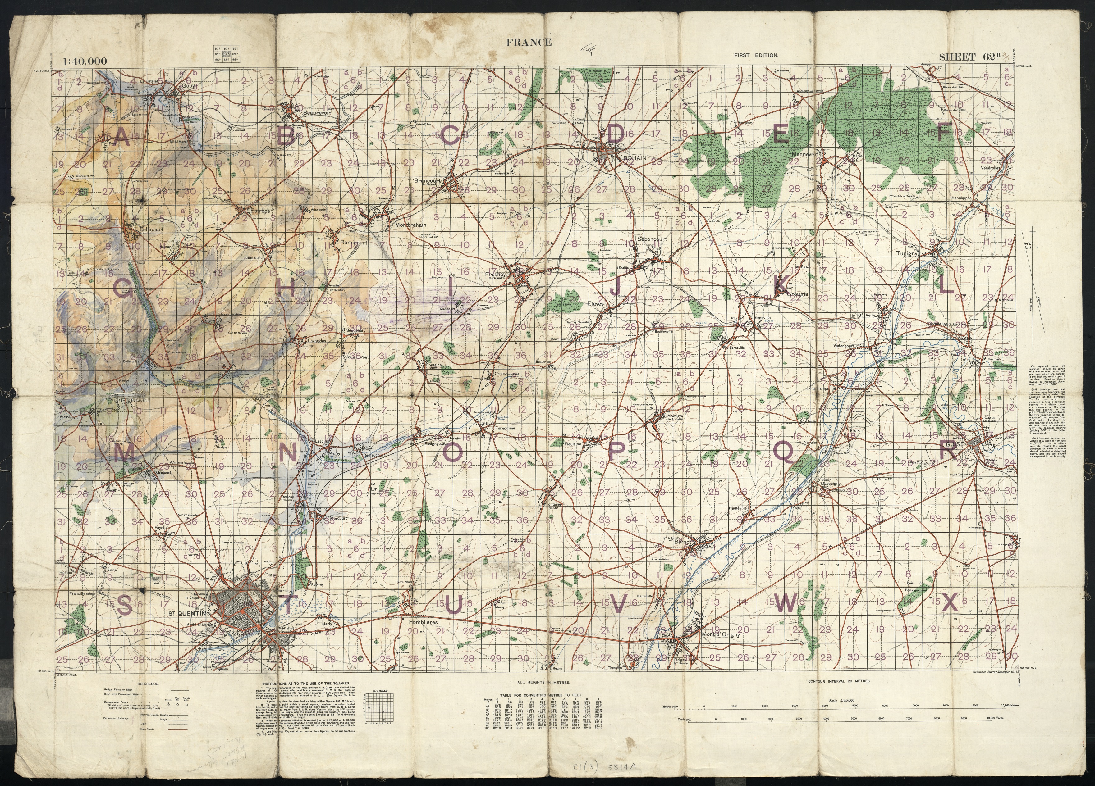
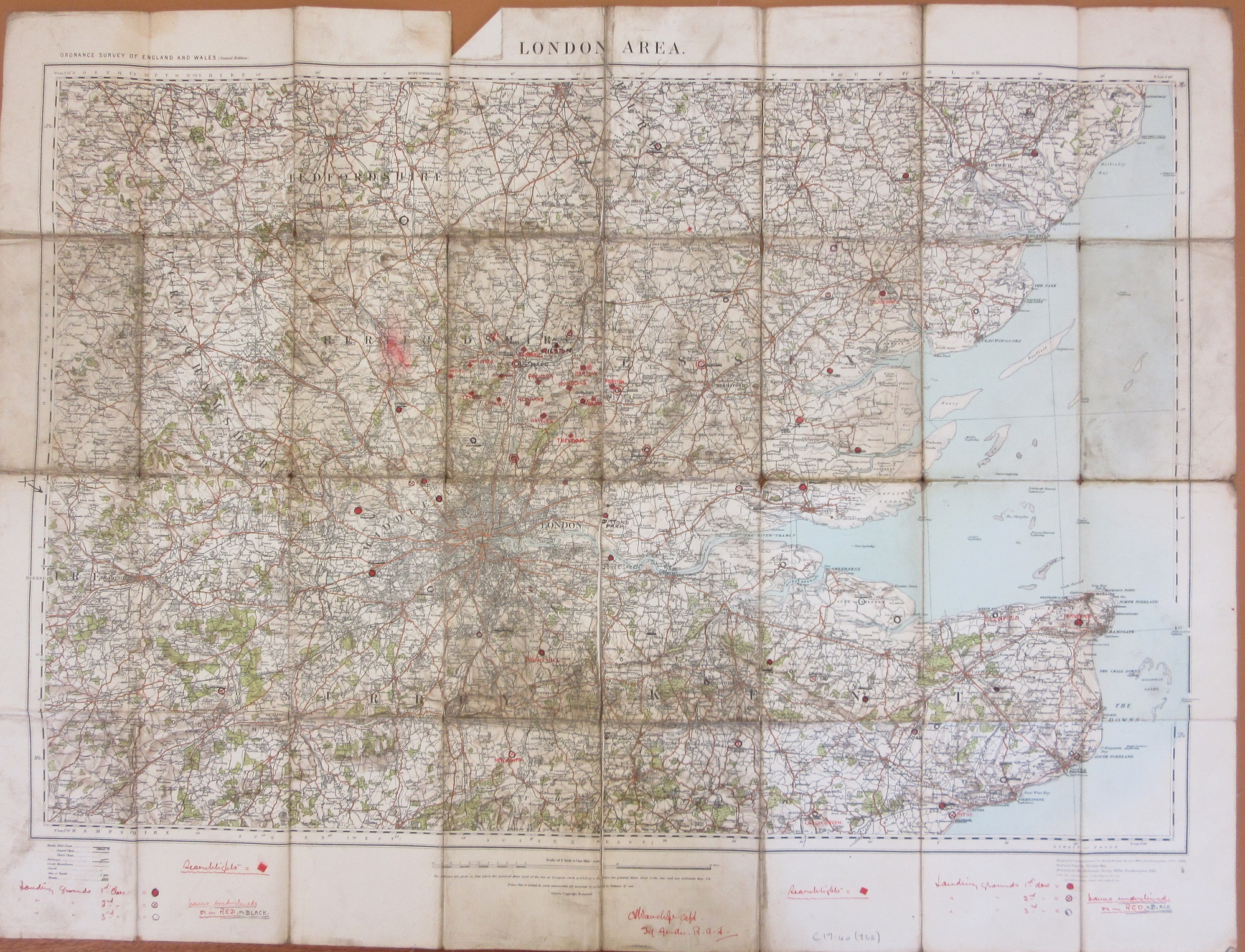
or a commercial Ordnance Survey 1/4″ sheet with additional marks made by a First World War pilot marking safe landing grounds around London (more on this map can be found here)
Then there are the plain bizarre, these links will take you to earlier blog posts of an intriguing burn mark on a map made during the Revolutionary period in France (here) and a map used by the film director Michael Winner to plan scenes for a film set during the Rome Olympics (here),

Wife and dog on Dorset walk. Note state of paws, those aren’t socks.