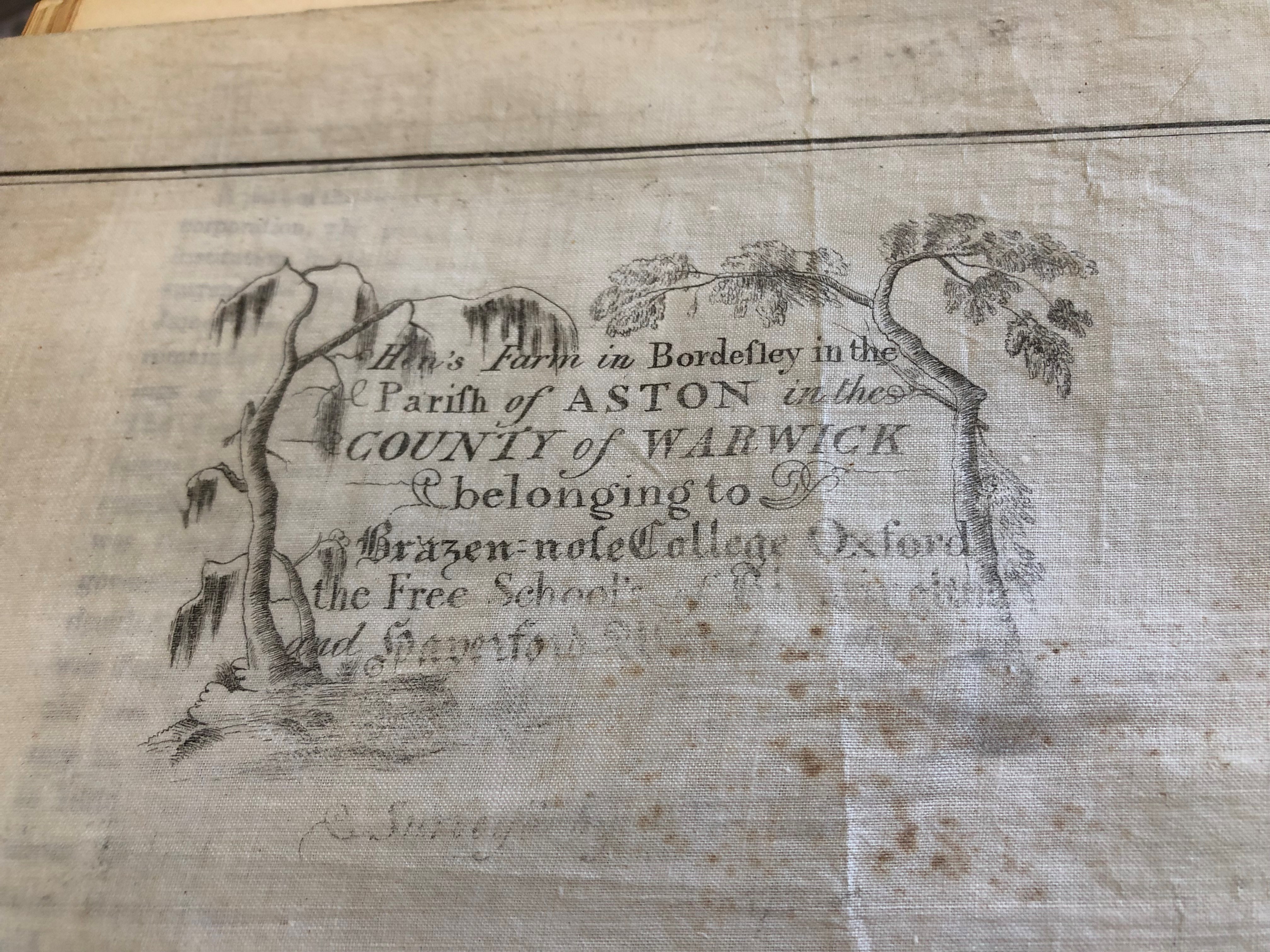
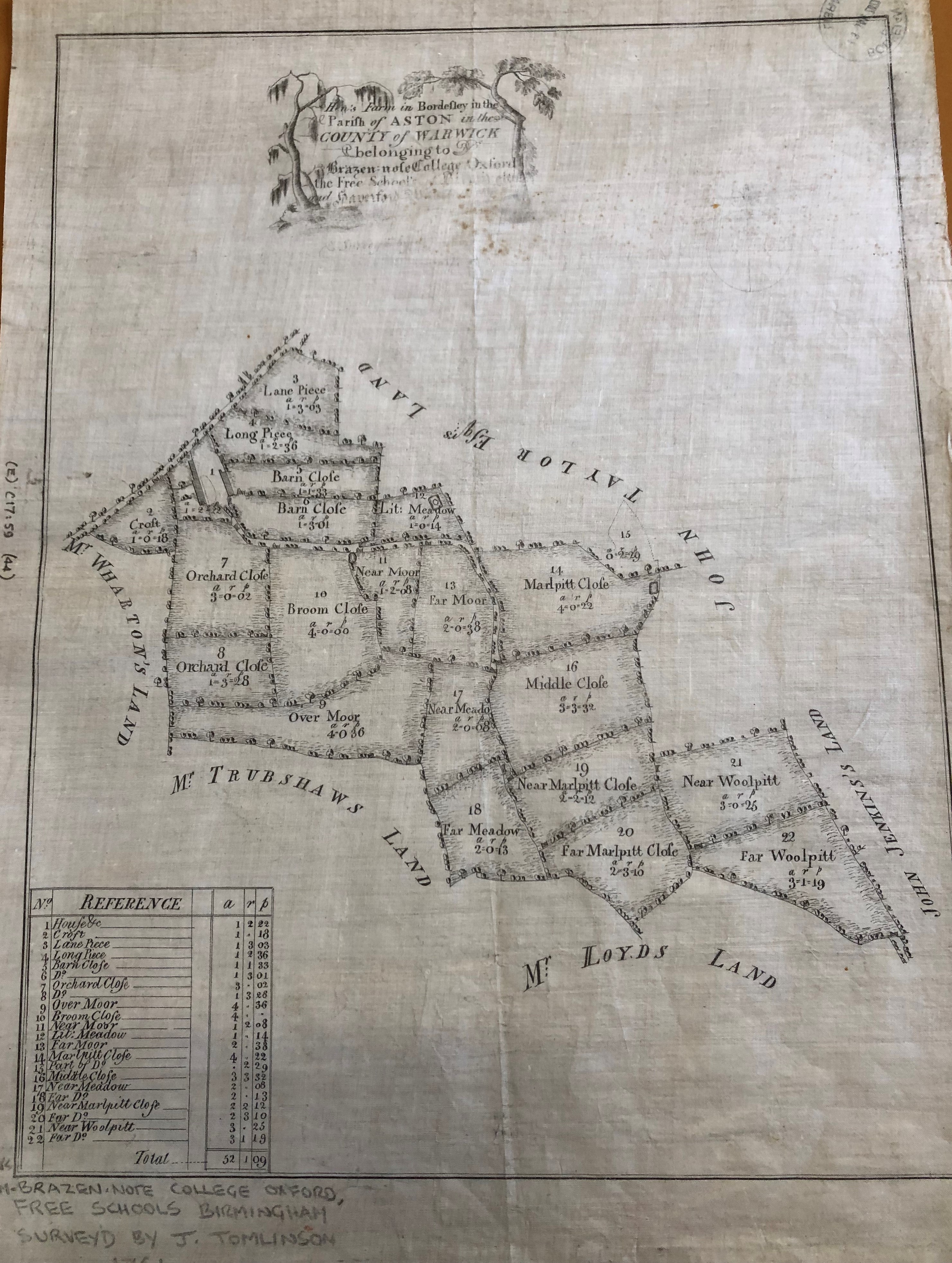
Maps recently purchased a large scale manuscript estate map entitled ‘Hen’s Farm in Bordesley in the Paris of Aston in the County of Warwick belonging to Brazen:nose College Oxford, the Free School of Birmingham and Haverford West … Survey’d by [J. Tomlinson, 1761]‘ which is a very nice thing of pen and ink on tracing cloth.
It shows the farm buildings and all the fields associated with it are labelled with areas in acres, roods and perches; individual trees and farm gates are drawn in and the neighbours named.
This was all very well until I came to catalogue it and realised that it only had one unnamed road and no north point making locating it on a modern map pretty much impossible. Checking our holdings of large scale maps of the area, I still could not place it. I really didn’t want to be beaten at such an early stage so I contacted Brasenose College Archives and Warwickshire County Record Office to enquire if they had any records which would help me place this farm. Unfortunately, neither of them could help me but Warwickshire suggested I contact Birmingham City Council Archives and Collections.
They, too, did not have any records but helpfully sent me a link to their tithe maps, which have been digitised and crucially, georectified.
For those who are unfamiliar with georectification, it is the process “of taking an image of a map and referencing it to a spatial grid, so that the image of the map can be used as a layer in other maps, or so that the image of the map can in turn be used for associating points of interest with the spatial grid.” This meant they overlaid their maps onto a modern map of Birmingham.
I selected the Bordesley Manor map of 1758 by JohnTomlinson and was immediately struck by the similarity of style to the Hen’s Farm map.
The scale was smaller, the fields weren’t so finely drawn but it was pretty much the same. All I had to do now was find the farm. After quite a lot of peering through a magnifying glass and an obscure reference in William Hutton’s The history of Birmingham, it was there! I located the farm from the field names, as the buildings are not actually labelled. By removing the tithe map layer, I could see exactly where it was on a modern map. I can report it sat where now is basically the central reservation of the A45 just south of the Tesla Supercharger which doesn’t have quite the same rural idyll feel but useful to know.
https://solo.bodleian.ox.ac.uk/permalink/f/89vilt/oxfaleph022753808


