Monthly Archives: December 2022

Sleigh miles

Few people can have more need of a map than Father Christmas. Who else travels the World, at night, visiting every house in every city, town and village? Who else does this but once a year, a long enough gap to forget which turn to take, which lane to go down? Who else makes these journeys on a sleigh drawn by 8 reindeer with no sat-nav, no googlemaps on a smart phone?

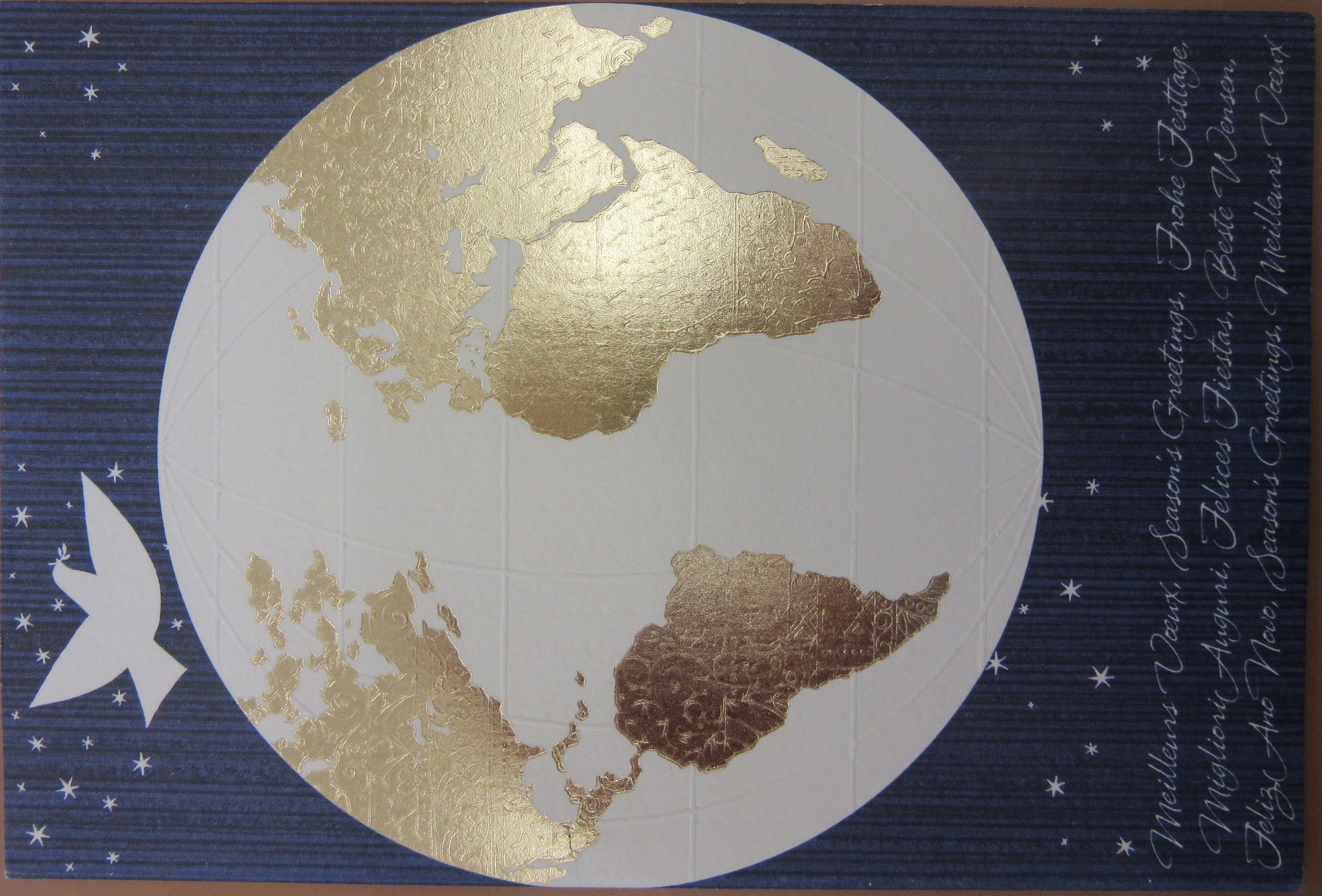
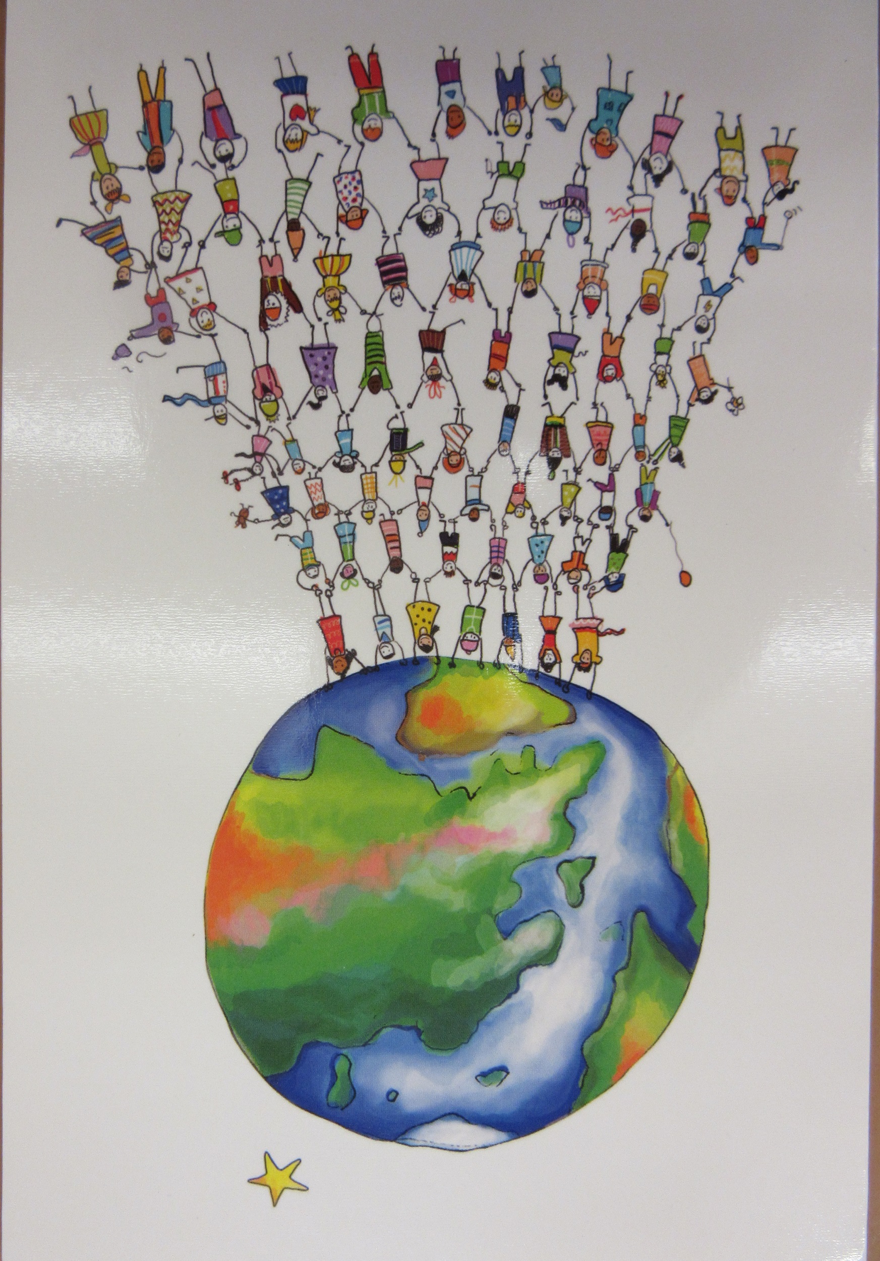
To celebrate a cartographic Christmas here’s a selection of map-themed cards collected by map staff at the Bodleian in recent years.


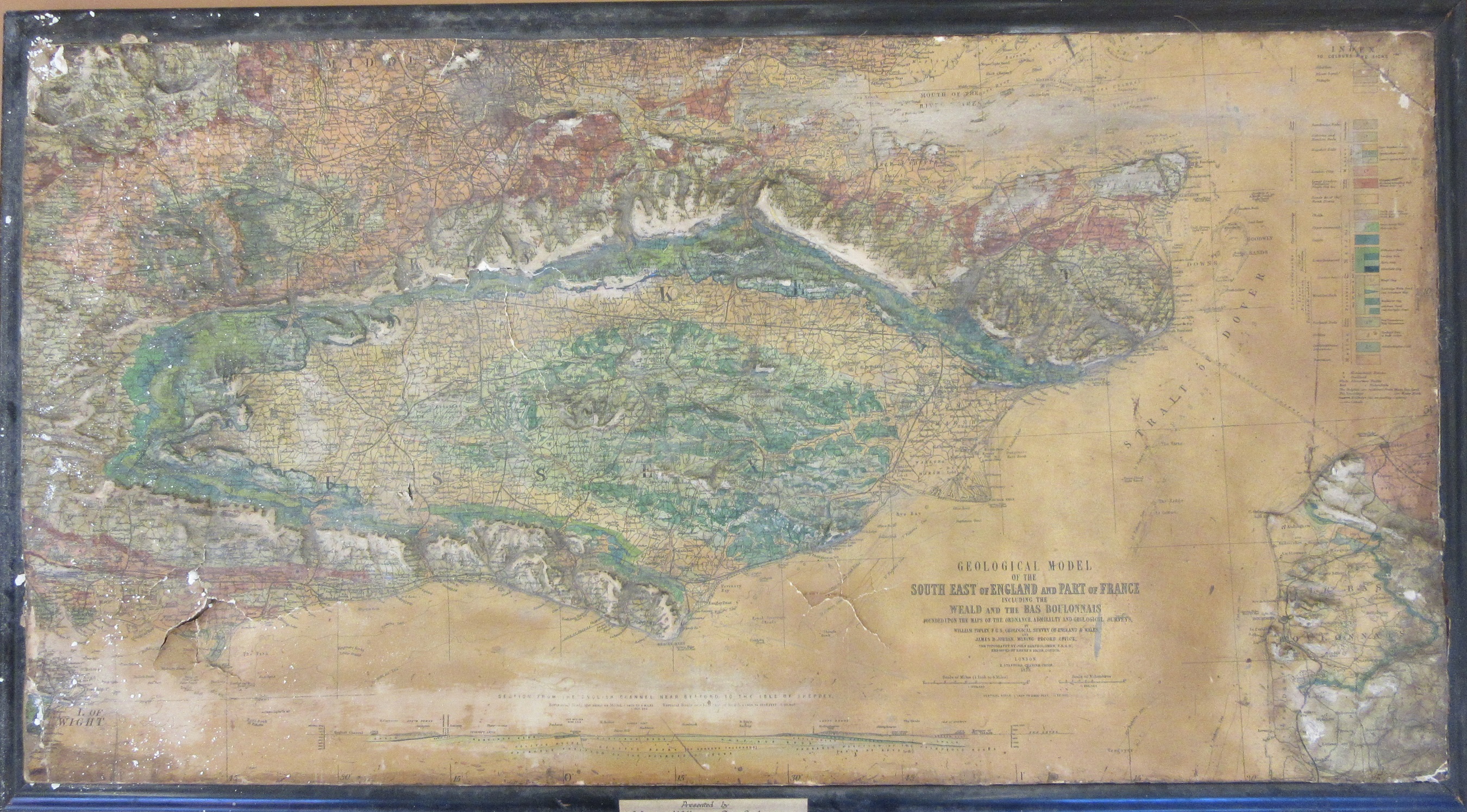
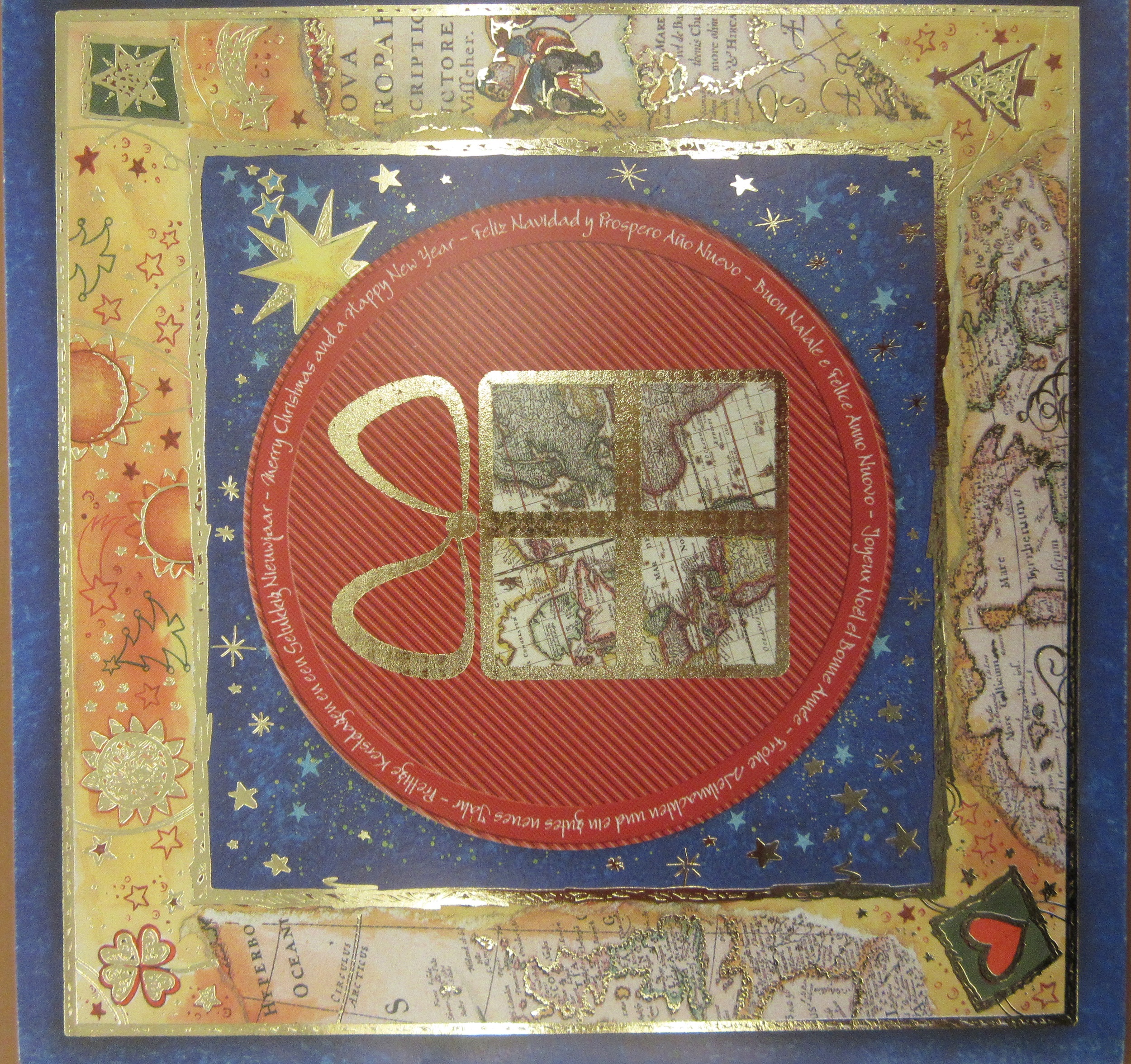
Here’s a card with an old map underlying the Christmas theme, showing the type of map that Santa might have used in days gone by.

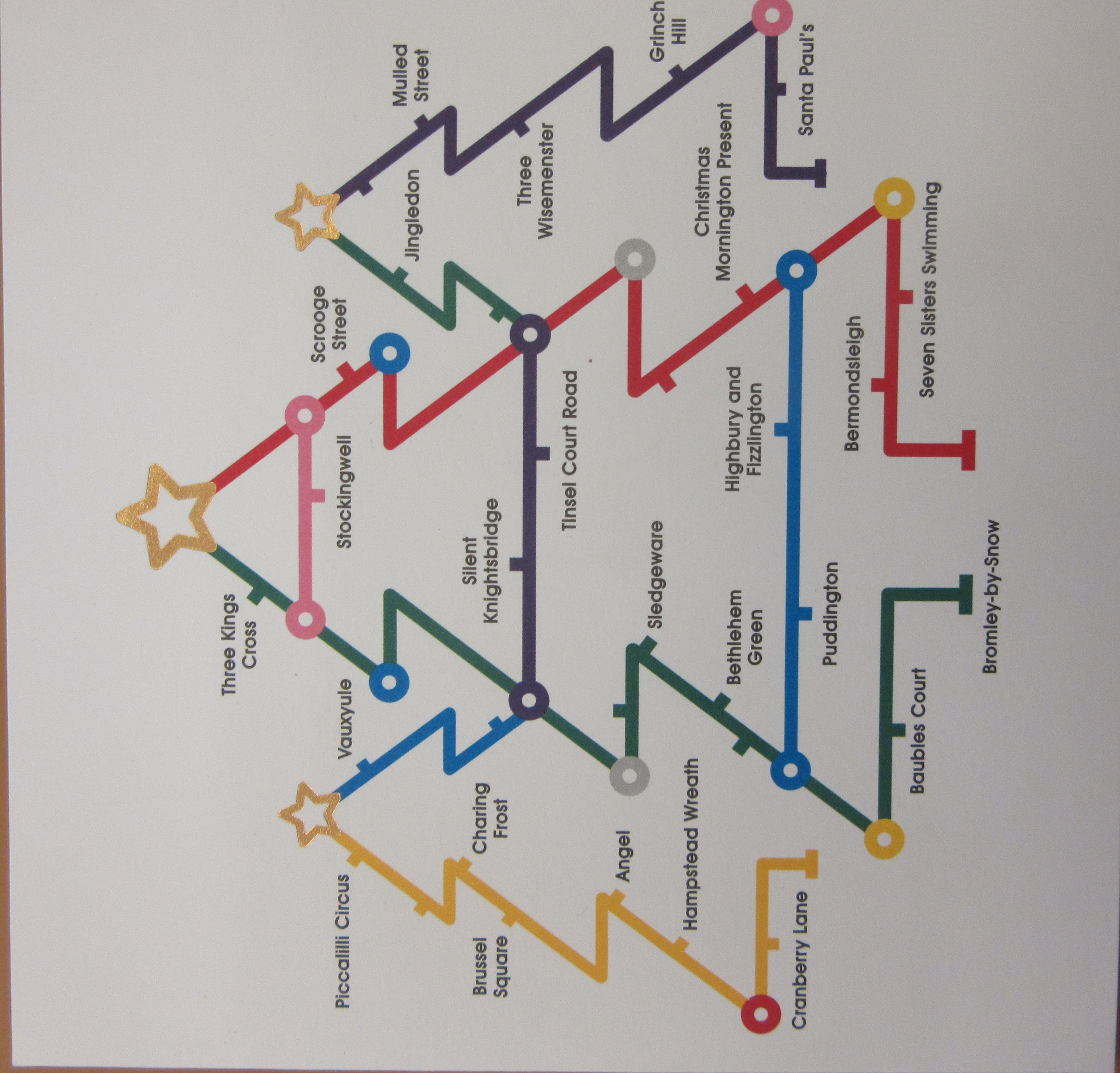
Has there ever been a more sampled map than the classic London Underground map? Here’s two cards on the theme


We have Henry Cole to thank for Christmas cards. The first director of what would become the Victoria and Albert Museum commissioned the artist John Callcott Horsley to design the first card in 1843, with a thousand copies printed off and sold under his pseudonym Felix Summerly. Cole was also involved in the setting up of the Penny Post and is credited with designing that most iconic of stamps, the Penny Black. Christmas cards form part of the John Johnson Collection here at the Bodleian, one of the most important collections of ephemera in the World. Find out more about John Johnson, including finding aids, catalogues and blogs here.

A blog on Christmas cards written by the Librarian of the John Johnson Collection Julie Anne Lambert can be found here and more blogs on Christmas ephemera in the collection can be found here .  Amongst the treasures held at the Bodleian are original pieces by J.R.R. Tolkien,  some of the Father Christmas letters that Tolkien sent to his children can be found here and here

There is a lovely map of Santas throughout the World published in the 1950s by the General Drafting Company which can be found here Vintage Map Shows Santa’s Journey Around the World | National Geographic and of course, there’s the famous NORAD tracking Santa site Official NORAD Tracks Santa (noradsanta.org)

Who doesn’t believe? Happy Christmas everyone

Chalk

We’re slowly processing a large amount of rolled and relief mapping that was donated to the      library a number of years ago.  Everything has been carefully stored in bubble wrap but a lot of the material is old, and quite a lot has been used for teaching purposes and has been varnished, that curse for the modern curator. We’re steadily working through the rolls and have started to look at the flat material, most of which seems to be maps in frames.

The first is going to be a challenge to our Conservation Department. The base to this relief map of the South Downs, Channel and part of the Pas-de-Calais has been made of either gesso or Plaster of Paris, we’re not sure yet. Both involve chalk which appropriate as the whole area is geologically made up of chalk and yet at the same time unfortunate as, after close to 150 years, the backing is now crumbling and combined with the effects of the varnishing has caused the map to both sink and split. Which is a shame as the map is a wonderful thing.

Geological model of the South East of England and part of France including the Weald and the Bas Boulonnais, 1873.

The relief of the area has been covered by a map made from information from maps published by the Ordnance Survey, Admiralty Office and the Geological Survey and then framed. The sculpted relief forms the hills of the Downs (from the old English word ‘Dun’, meaning hill) and the danger is as this backing further disintegrates and the frame and map splits more we’ll lose this effect*, hence the need for conservation.

One of the more interesting details on the map is the route shown of a proposed Channel tunnel. First suggested in 1802 the idea of a tunnel between the two countries steadily grew towards the end of the 1800s. Both French and British engineers came up with proposals and in 1866 the English engineer Henry Marc Brunel made a survey of the floor of the Straits of Dover which showed that sea-floor was made up of chalk. Various attempts to build the tunnel were put in place but soon shelved due to funding and concerns, on the English side, of threats to British security.

One of the sheets of a French geological series published in 1878 is a reprint of an earlier geological series originally published in 1832 which shows the geology of the Straits in preparation for a possible tunnel. The geological information comes from reconnaissance work carried out for the wonderfully named Anglo-French Submarine Railway Company.

Carte géologique, Calais sheet 1. [1878?] (E) C2:5 (32)

*As well as the chalk. It’s strange to think that the chalky substence that has fallen off the map and now lies on the floor in our office came from a map made in 1873, even stranger when you remember that the chalk itself is made up of untold numbers of plankton from close to a 1,000,000 years ago.